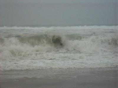
Irene's Winds Lessen but Risk Remains

At 6 a.m. Sunday, Hurricane Irene's top sustained winds had decreased to near 75 miles per hour, according to the National Hurricane Center.
As the leading edge of the huge storm reached eastern Long Island during the night, a little drizzle gave way to heavier rain, and wind that was beginning to bend the oaks in the woods between Sag Harbor and East Hampton. Lightning could be seen coming from the upper cloud layers. Trees were beginning to fall, with a report of a tree down in Noyac that cut power to some residents.
Wind gusts at the Montauk Airport were recorded to 33 miles per hour, with sustained wind of 17 m.p.h. from the east.
A National Data Buoy Center buoy at the Ambrose Light approach to New York Harbor recorded winds of 35 m.p.h. with gusts to 42.
East Hampton and Southampton Towns, as well as the rest of Long Island and New York State, remained under a state of emergency, with authorities urging residents to remain indoors.
Robert Iberger, Southampton Town's emergency preparedness coordinator, issued a press release at about 6:30 a.m. in stressing this. " Unless you are a utility worker on assignment, DPW or highway worker or emergency responder responding to a call for service you should not be on the roads at this time," he wrote.
Lt. Iberger said that the area had already had two tornado warnings.
Erosion could be catastrophic in places. Hurricane Irene's passage across Long Island will coincide with morning and evening high tides. Damage exceeding the Dec. 26 northeaster that tore away at east-facing beaches and left several Montauk waterfront house teetering is expected.
