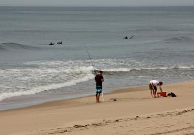
State Provides Dollars for Shoreline Studies

A scientific analysis of East Hampton Town’s coastal geology is under way and an exploration of what to do in the face of climate change and sea level rise will be launched soon with the help of more than $400,000 in state grants. The East Hampton Town Board voted last Thursday to hire GEI Consultants to oversee the forthcoming efforts and is to appoint a citizens committee to work with the firm.
Under one grant, from the New York State Energy Research Development Authority, a Virginia-based consulting firm, Dewberry, is in the process of updating information on the town’s 114 miles of coastline — for instance, which areas of wetlands and beaches are eroding, and how quickly, and how beach sand or other sediments move along the shoreline, and how quickly. The project will provide a baseline for future plans that GEI will help develop.
Once “we understand the underlying science of it,” Jeremy Samuelson, a member of a town-appointed advisory committee for coastal planning and the director of Concerned Citizens of Montauk, said at a town board work session last week, the goal is to develop a Coastal Assessment Resiliency Plan that will “project the future of our relationship to the shoreline.” It is certain that the shoreline will change in the short term, Mr. Samuelson said, and it is prudent to have a plan as to how the town will react.
“This needs to be a community-led process,” he said, similar to the hamlet studies now under way, which have involved the public in shaping the focus and goals of the planning effort.
Based on the data about the town’s coastal areas and agreed-upon expectations regarding sea level rise or vulnerability to increased storms, models can be developed that will show what could happen in different parts of the shoreline. Then, Mr. Samuelson explained, decisions can be made about protecting or redeveloping infrastructure, what to do about shore-hardening structures, about properties that could be targeted for public purchase, or about areas where the best strategy is to move development away from the shore.
Plans are to be made in conjunction with existing coastal planning policies, such as the longstanding and state approved Local Waterfront Revitalization Plan.
“It’s really important to get an understanding of the realities that we’re going to face as a community,” East Hampton Town Supervisor Larry Cantwell said at the July 19 meeting, and to have the community “understand what the impacts are likely to be.” You then have the basis for the “more difficult conversation,” he said. “Then and only then we can have a discussion. What are the pros and cons of the strategies that might be on the table?”
Representation on the committee of a broad spectrum of constituencies in town is key, Mr. Samuelson and Mr. Cantwell agreed, as is an open process in which the public can participate.
